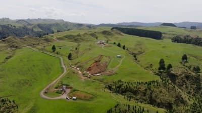
A successful trial has demonstrated that satellite surveillance could be a fantastic way to monitor our pipelines for potential hazards. Currently, rural pipelines are checked for hazards using monthly or bimonthly helicopter surveillance. Satellite surveillance adds an additional, modern tool to our pipeline monitoring approach, complementing existing methods and enhancing overall situational awareness.
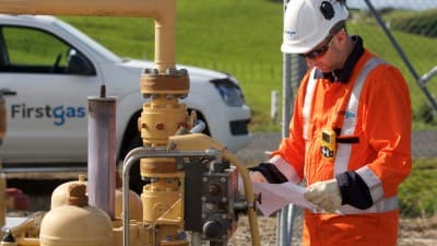
During 2025, the Firstgas team tested whether satellite technology could identify items or activities on and around our Auckland to Northland pipeline. The satellite regularly photographed every part of the pipe, out to a width of around 50 metres either side. It then flagged any changes, so we could spot potential problems, like a digger, a pile of building materials, or a new structure like a shed. Field technicians looked at every photo that indicated a possible issue and anything that concerned them led to an in-person inspection.
“This trial has proved a lot,” says David Innes, Chief Engineer for Firstgas. “I was really pleased with it, for several reasons. The trial demonstrates how satellite data can strengthen safety decision-making and give our teams more information before any field activity is undertaken.”
“It also allows us to keep a record of everything seen from every scan across multiple years” he said.
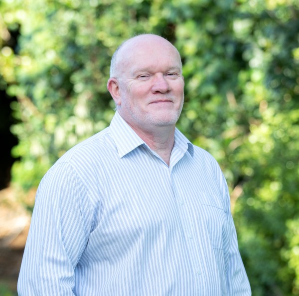
David Innes, Chief Engineer for Firstgas
Spotting a fence and a build in progress
The satellite photographs provide Firstgas field technicians with a series of ‘before and after’ images, with sliders for easy comparison.
“Our field technicians look at every insight (alerts that show material change) reported,” Innes says. “They’re looking to see and asking, ‘Is it serious enough to look closer?’ They might be able to see it’s a tractor, for instance, so they know there’s no point in going out to the site, because it’s just the farmer laying out hay.”
On the flipside, the satellite also spotted the types of hazards that Firstgas was specifically hoping to identify. Field technicians investigated one unexpected potential concern, finding a new fence had been put up with one posthole dug just centimetres from the live pipeline. In another instance, a flagged hazard turned out to be a pile of concrete slabs. Both issues were resolved with the landowners, preventing potential risks to people and property.
Pléiades Neo Satellite
An extended trial will be complete by mid-2026
This success has led to the trial being extended and expanded, with a satellite scan every other month throughout 2026, alternating between a northern pipeline and a strategic pipeline along the West coast of the North Island. The trial will be evaluated by midyear, and if Innes and the Clarus team are happy with the results, this type of surveillance could be in place across all suitable pipelines in 2027 and beyond.
“Now we’re trying to figure out exactly what it can see on the ground, so we’re going to create some excavations that look like geotechnical hazards. Will it pick those up as a threat and identify that the ground’s changed? “
“A win for everyone”
Satellite surveillance like this is only possible due to recent technological advances which have led to dramatic cost reductions.
“I recently read that in the 1970s, the cost of putting a satellite up was $65,000 per kilo in today’s money. Now, it’s about $1,500 per kilo,” says Innes. “Costs have come down so much that there are competing companies offering data for lots of different purposes – things you wouldn’t even think of. It’s not big bucks to give it a go, and if it works, maybe it’s a win for everyone.”
Learn more about other ways that Clarus is reducing emissions and contributing to New Zealand’s energy transition at Future of Energy.